Title: Feature Construction for Multi-Temporal Data in Remote Sensing
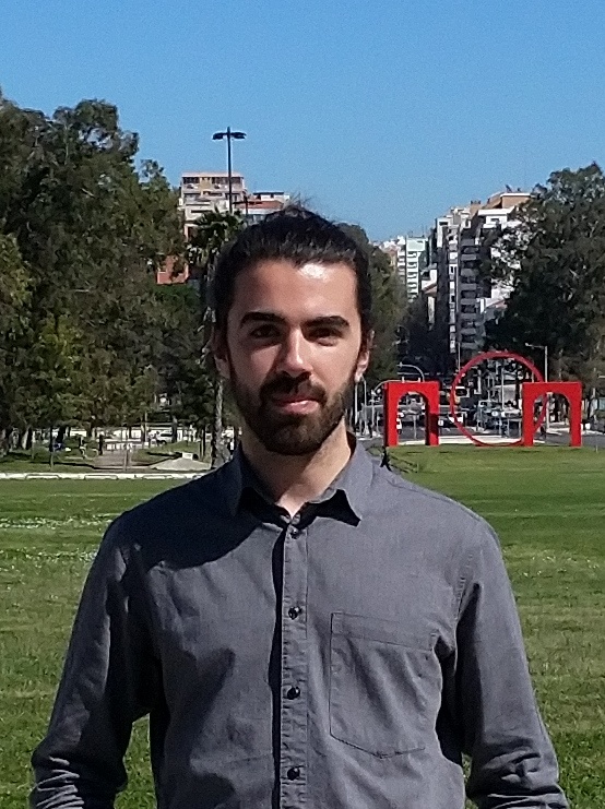
Speaker: João Batista, LASIGE/DI-FCUL
Date: April 7, 12h
Where: Room C6.3.27
Abstract: Deforestation has serious implications for biodiversity, for rural communities that are dependent on forests for food and income and for greenhouse gas emissions that are driving the global climate.
This work addresses two important objectives in forest monitoring: the mapping of land cover changes and the detection of forest degradation. To do this, this work relies on satellite-based remote sensing data and feature construction algorithms, combining existing techniques and developing new ones to deal with the well-known issues in remote sensing data, such as radiometric noise and land cover type similarity.
In the early stages of my thesis, genetic programming (GP) is used for supervised feature construction for the separation of land cover types in uni-temporal data. Later, GP and neural networks (auto-encoders, AEs) are used for multi-temporal feature construction for the separation of similar land cover types. Currently, I am working in multi-temporal feature construction for the detection of forest degradation in multi-temporal data, in an attempt to subdivide the primary forest land cover type into “healthy” and “degraded” forests. This last step is relying on GP, AE and texture-based metrics (GLCM) as feature construction methods.
